 and Shortwave IR (bottom) Imagery (click image to play animation)")
GOES-14 Visible (top) and Shortwave IR (bottom) Imagery (click image to play animation)
A PyroCB event occurred in Montana on August 19, 2013, as seen with GOES-14 imagery. A two-panel comparison (above; click image to play animation) shows the visible imagery (top panel) as well as the shortwave infrared imagery (bottom panel). Hot spots are already apparent in Wyoming, and around 20:45 UTC, a hot spot flares up in southern Montana, just above the Wyoming-Montana border at a latitude/longitude of 45.2 degrees North and 110.7 degrees West. In the visible imagery, smoke becomes more apparent at about 21:45 UTC, and the PyroCB begins forming around 22:50 UTC.
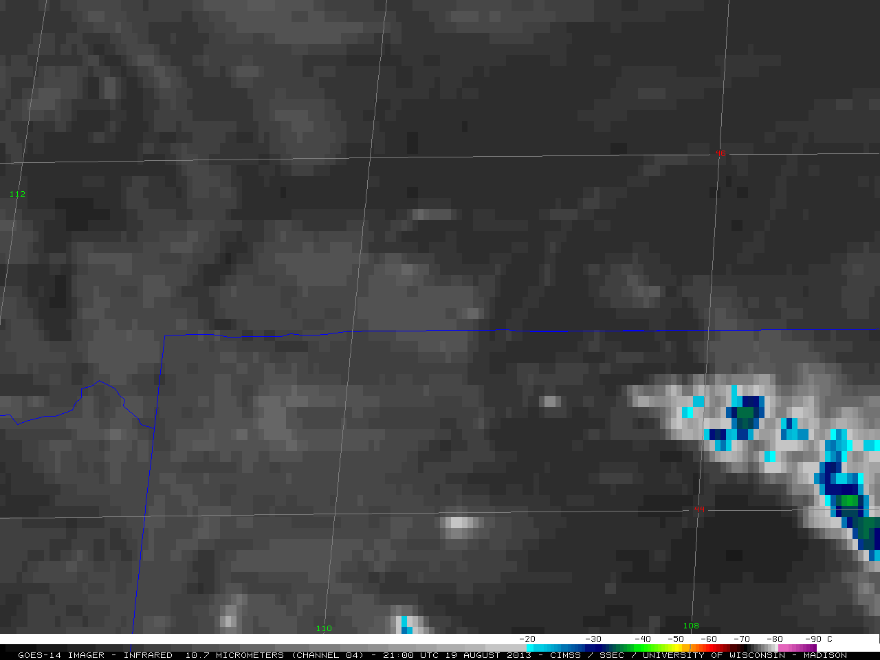
GOES-14 Longwave Infrared Imagery (click image to play animation)
On the GOES-14 long wave infrared imagery (above; click image to play animation), light blue pixels can be spotted around 23:00 UTC, indicating cloud top temperatures of about -20 degrees Celsius. Soon after this, the cloud tops reach about -30 degrees Celsius (dark blue enhancement). For a brief moment at about 23:20 UTC, one can spot dark green pixels, which indicate that the cloud tops may have reached between -30 and -35 degrees Celsius. At this temperature, the cloud tops were at least partly glaciated.