 and GOES-14 (bottom) 0.63 µm visible channel images (click image to play animation)")
GOES-15 (top) and GOES-14 (bottom) 0.63 µm visible channel images (click image to play animation)
The Thompson Ridge Fire (InciWeb) began burning on 31 May 2013 in northern New Mexico, just west of Los Alamos (station identifier KLAM). Five days later on 04 June, GOES-15 (GOES-West) and GOES-14 (GOES-East) 0.63 µm visible channel images (above; click image to play animation) showed the development of pyrocumulus near the source of the fire, as well as a long smoke plume that was being transported eastward. Late in the animation there was evidence of some small overshooting tops.
A ground-based photo of the pyrocumulus taken around 22:00 UTC is shown below.

Photo of Thompson Ridge Fire, looking north, around 22:00 UTC (courtesy of NWS Albuquerque)
On a NOAA-15 false-color Red/Green/Blue image (using channels 3/2/1) at 23:55 UTC (below), the active fire shows up as the brighter pink feature.
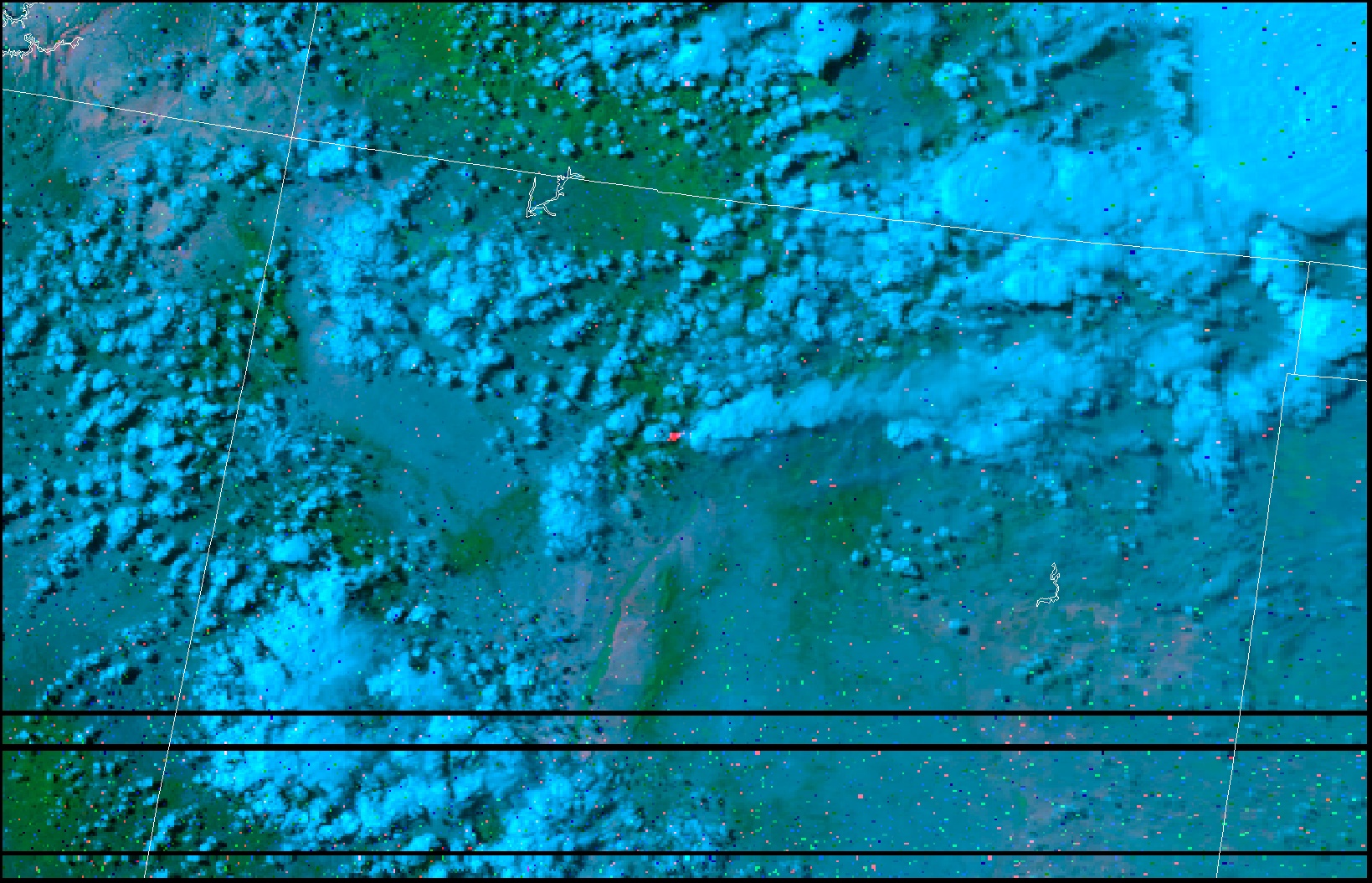
NOAA-15 false-color image (using channels 3/2/1) at 23:55 UTC on 04 June (courtesy of René Servranckx)
On this same day, theere were also some pyrocumulus events associated with fires burning in Alberta, Saskatchewan, and Manitoba, as seen in animations of GOES-14 visible and IR imagery (courtesy of Dan Lindsey). 3-panel AVHRR images of those fires can be seen here (courtesy of René Servranckx).